Stour Close, Didcot
Introduction
The photograph on this page of Stour Close, Didcot by Andrew Smith as part of the Geograph project.
The Geograph project started in 2005 with the aim of publishing, organising and preserving representative images for every square kilometre of Great Britain, Ireland and the Isle of Man.

There are currently over 7.5m images from over 14,400 individuals and you can help contribute to the project by visiting https://www.geograph.org.uk
Stour Close, Didcot
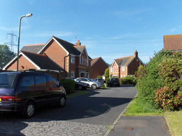
Image: © Andrew Smith Taken: 3 Jun 2006
Typical of much of Didcot which undergone a lot of recent expansion on its northern and eastern sides.
Images are licensed for reuse under creativecommons.org/licenses/by-sa/2.0
Image Location
Latitude
51.609009
Longitude
-1.230261