2010 : Abutments to a disused railway bridge
Introduction
The photograph on this page of 2010 : Abutments to a disused railway bridge by Maurice Pullin as part of the Geograph project.
The Geograph project started in 2005 with the aim of publishing, organising and preserving representative images for every square kilometre of Great Britain, Ireland and the Isle of Man.

There are currently over 7.5m images from over 14,400 individuals and you can help contribute to the project by visiting https://www.geograph.org.uk
2010 : Abutments to a disused railway bridge
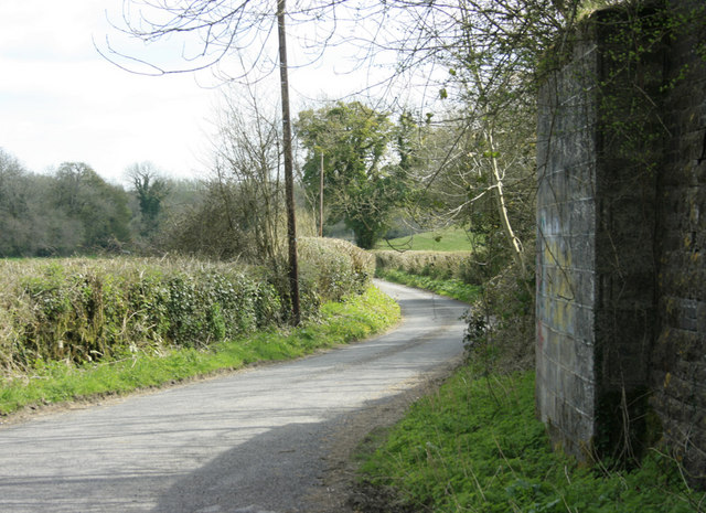
Image: © Maurice Pullin Taken: 20 Apr 2010
On the Somerset & Dorset Railway. The lane facing leads to the B3139 and Emborough.
Images are licensed for reuse under creativecommons.org/licenses/by-sa/2.0
Image Location
Latitude
51.250239
Longitude
-2.544988