Clifton Gardens
Introduction
The photograph on this page of Clifton Gardens by Derek Harper as part of the Geograph project.
The Geograph project started in 2005 with the aim of publishing, organising and preserving representative images for every square kilometre of Great Britain, Ireland and the Isle of Man.

There are currently over 7.5m images from over 14,400 individuals and you can help contribute to the project by visiting https://www.geograph.org.uk
Clifton Gardens
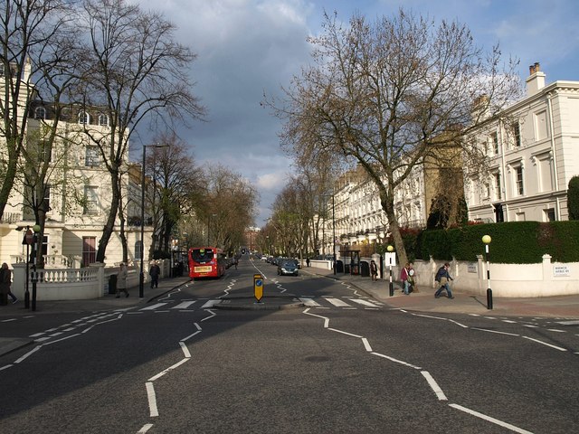
Image: © Derek Harper Taken: 15 Apr 2010
This is the B413, seen from Warwick Avenue, making its way between smart stucco terraces towards Maida Vale.
Images are licensed for reuse under creativecommons.org/licenses/by-sa/2.0
Image Location
Latitude
51.523564
Longitude
-0.183627