Former Maritime Industrial Estate, Charlton
Introduction
The photograph on this page of Former Maritime Industrial Estate, Charlton by Stephen Craven as part of the Geograph project.
The Geograph project started in 2005 with the aim of publishing, organising and preserving representative images for every square kilometre of Great Britain, Ireland and the Isle of Man.

There are currently over 7.5m images from over 14,400 individuals and you can help contribute to the project by visiting https://www.geograph.org.uk
Former Maritime Industrial Estate, Charlton
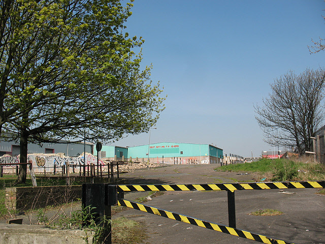
Image: © Stephen Craven Taken: 18 Apr 2010
This is a photo taken through a gap in a developer's hoarding. The 2009 planning application on a nearby lamp-post identified the former use of the site as "Maritime Industrial Estate, Horizon Way" though that street name does not appears on local street maps. The application was for a mixed-use development of housing, retail and trade units. The 2009/10 recession appeared to have prevented development from starting. See Image for after completion of demolition in 2013.
Images are licensed for reuse under creativecommons.org/licenses/by-sa/2.0
Image Location
Latitude
51.488656
Longitude
0.02601