Minor road to Moor House and Alveley
Introduction
The photograph on this page of Minor road to Moor House and Alveley by P L Chadwick as part of the Geograph project.
The Geograph project started in 2005 with the aim of publishing, organising and preserving representative images for every square kilometre of Great Britain, Ireland and the Isle of Man.

There are currently over 7.5m images from over 14,400 individuals and you can help contribute to the project by visiting https://www.geograph.org.uk
Minor road to Moor House and Alveley
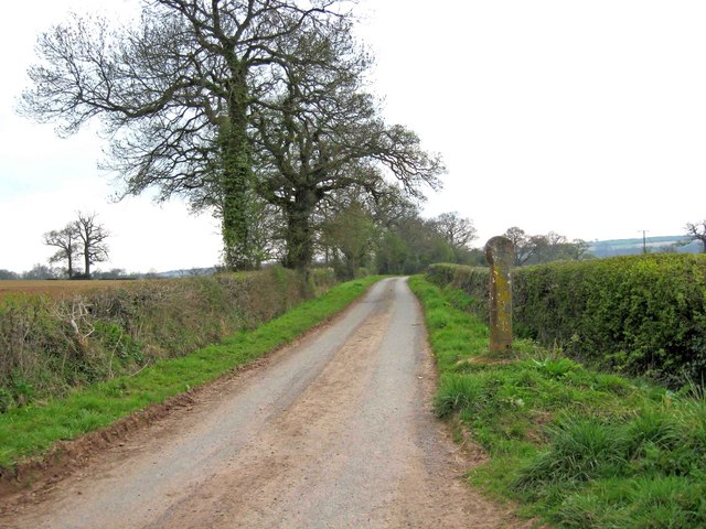
Image: © P L Chadwick Taken: 18 Apr 2010
This road forms a long loop, starting and finishing near Alveley's Parish Church. Its most interesting feature is the ancient Buttercross (or Butter Cross if you prefer), which can be seen on the right. More information on this is given in the links below. Image Image Image
Images are licensed for reuse under creativecommons.org/licenses/by-sa/2.0
Image Location
Latitude
52.46876
Longitude
-2.366052