St Mary Street
Introduction
The photograph on this page of St Mary Street by Robin Stott as part of the Geograph project.
The Geograph project started in 2005 with the aim of publishing, organising and preserving representative images for every square kilometre of Great Britain, Ireland and the Isle of Man.

There are currently over 7.5m images from over 14,400 individuals and you can help contribute to the project by visiting https://www.geograph.org.uk
St Mary Street
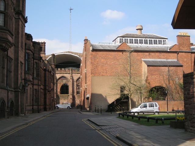
Image: © Robin Stott Taken: 16 Apr 2010
The view is from Earl Street through the ruins of the old cathedral to the great canopy over the south end of its modern successor. The east side of the Council House is in shadow on the left. The space on the right is behind Brown's café-bar, whose arched roof just pushes into the picture.
Images are licensed for reuse under creativecommons.org/licenses/by-sa/2.0
Image Location
Latitude
52.40708
Longitude
-1.507511