The west side of the Herbert
Introduction
The photograph on this page of The west side of the Herbert by Robin Stott as part of the Geograph project.
The Geograph project started in 2005 with the aim of publishing, organising and preserving representative images for every square kilometre of Great Britain, Ireland and the Isle of Man.

There are currently over 7.5m images from over 14,400 individuals and you can help contribute to the project by visiting https://www.geograph.org.uk
The west side of the Herbert
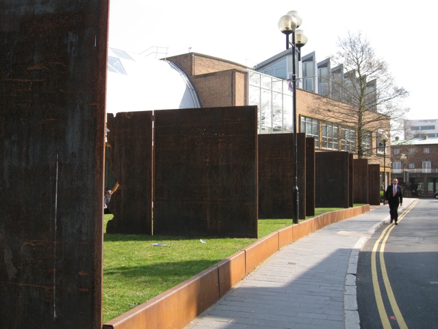
Image: © Robin Stott Taken: 16 Apr 2010
A raised lawn beside the extended Herbert Art Gallery and Museum is edged with rolled steel and divided by vertical steel slabs. Laser-cut inscriptions on each slab record the occupants of houses in Bayley Lane down the centuries. Many end '1940 Destroyed by the Blitz' Image and Image A view of the lawn is Image
Images are licensed for reuse under creativecommons.org/licenses/by-sa/2.0
Image Location
Latitude
52.40708
Longitude
-1.507511