Landslip in Gilbert's Pit
Introduction
The photograph on this page of Landslip in Gilbert's Pit by Stephen Craven as part of the Geograph project.
The Geograph project started in 2005 with the aim of publishing, organising and preserving representative images for every square kilometre of Great Britain, Ireland and the Isle of Man.

There are currently over 7.5m images from over 14,400 individuals and you can help contribute to the project by visiting https://www.geograph.org.uk
Landslip in Gilbert's Pit
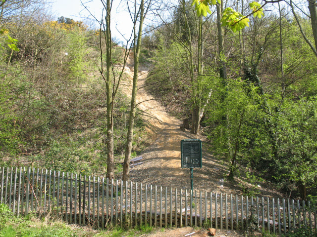
Image: © Stephen Craven Taken: 18 Apr 2010
This minor (and not very recent) landslip exposes the sandy soil of the pit edge, otherwise covered in vegetation. An information board explains the geology.
Images are licensed for reuse under creativecommons.org/licenses/by-sa/2.0
Image Location
Latitude
51.488633
Longitude
0.042862