Path approaching the Fosse Way
Introduction
The photograph on this page of Path approaching the Fosse Way by Bill Boaden as part of the Geograph project.
The Geograph project started in 2005 with the aim of publishing, organising and preserving representative images for every square kilometre of Great Britain, Ireland and the Isle of Man.

There are currently over 7.5m images from over 14,400 individuals and you can help contribute to the project by visiting https://www.geograph.org.uk
Path approaching the Fosse Way
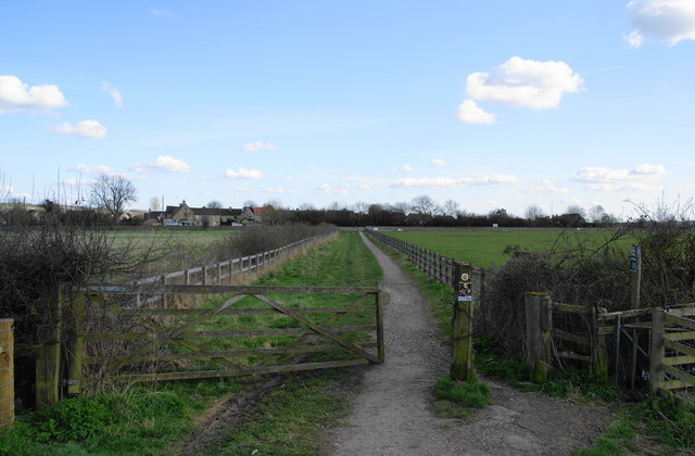
Image: © Bill Boaden Taken: 8 Apr 2010
The non-tourist end of Bourton-on-the-Water is the other side of the road, the A429
Images are licensed for reuse under creativecommons.org/licenses/by-sa/2.0
Image Location
Latitude
51.894864
Longitude
-1.759447