The Brook
Introduction
The photograph on this page of The Brook by Simon Carey as part of the Geograph project.
The Geograph project started in 2005 with the aim of publishing, organising and preserving representative images for every square kilometre of Great Britain, Ireland and the Isle of Man.

There are currently over 7.5m images from over 14,400 individuals and you can help contribute to the project by visiting https://www.geograph.org.uk
The Brook
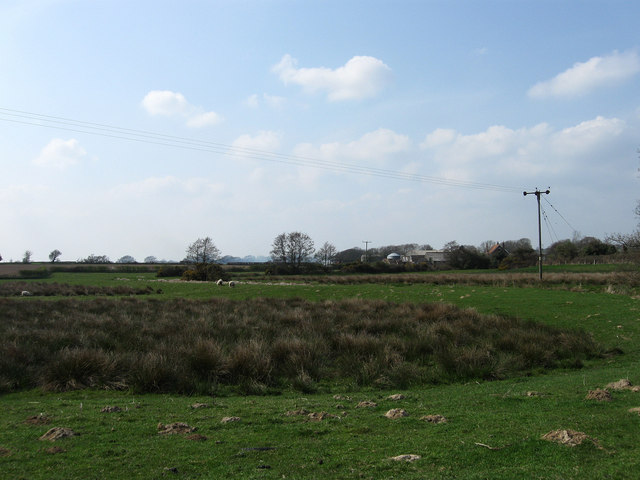
Image: © Simon Carey Taken: 15 Apr 2010
The name of the field according to the 1839 tithe map and part of Pevensey Levels of which this is near enough the last field before the ground rises and becomes the Weald. The buildings in the distance belong to Sackville Farm.
Images are licensed for reuse under creativecommons.org/licenses/by-sa/2.0
Image Location
Latitude
50.87376
Longitude
0.317769