Chantler's Farmhouse
Introduction
The photograph on this page of Chantler's Farmhouse by Simon Carey as part of the Geograph project.
The Geograph project started in 2005 with the aim of publishing, organising and preserving representative images for every square kilometre of Great Britain, Ireland and the Isle of Man.

There are currently over 7.5m images from over 14,400 individuals and you can help contribute to the project by visiting https://www.geograph.org.uk
Chantler's Farmhouse
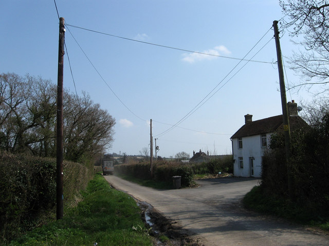
Image: © Simon Carey Taken: 15 Apr 2010
On Lower Road with the farm buildings out of shot to the right. The chimney and roof beyond belongs to Sackville Farmhouse whose farm the small lorry on the left is heading for.
Images are licensed for reuse under creativecommons.org/licenses/by-sa/2.0
Image Location
Latitude
50.876798
Longitude
0.314224