Waterhead Brook downstream of Stafford Road
Introduction
The photograph on this page of Waterhead Brook downstream of Stafford Road by John M as part of the Geograph project.
The Geograph project started in 2005 with the aim of publishing, organising and preserving representative images for every square kilometre of Great Britain, Ireland and the Isle of Man.

There are currently over 7.5m images from over 14,400 individuals and you can help contribute to the project by visiting https://www.geograph.org.uk
Waterhead Brook downstream of Stafford Road
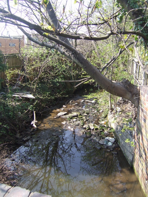
Image: © John M Taken: 17 Apr 2010
Emerging from a culvert beneath the Stafford Road the brook runs between factories towards the i54 development at Wobaston. The brook seems to attract rubbish.
Images are licensed for reuse under creativecommons.org/licenses/by-sa/2.0
Image Location
Latitude
52.629998
Longitude
-2.125983