Waterhead Brook upstream at Waterhead Drive
Introduction
The photograph on this page of Waterhead Brook upstream at Waterhead Drive by John M as part of the Geograph project.
The Geograph project started in 2005 with the aim of publishing, organising and preserving representative images for every square kilometre of Great Britain, Ireland and the Isle of Man.

There are currently over 7.5m images from over 14,400 individuals and you can help contribute to the project by visiting https://www.geograph.org.uk
Waterhead Brook upstream at Waterhead Drive
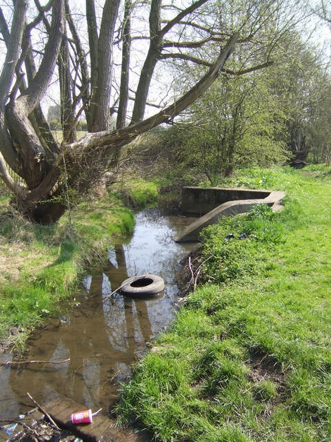
Image: © John M Taken: 17 Apr 2010
Typical fly tipping in the brook which marks the Wolverhampton city boundary. This was also known as the Berry Brook and the local school now shares this name.
Images are licensed for reuse under creativecommons.org/licenses/by-sa/2.0
Image Location
Latitude
52.621846
Longitude
-2.096268