Cycle path alongside Cypress Drive, St Mellons
Introduction
The photograph on this page of Cycle path alongside Cypress Drive, St Mellons by Jaggery as part of the Geograph project.
The Geograph project started in 2005 with the aim of publishing, organising and preserving representative images for every square kilometre of Great Britain, Ireland and the Isle of Man.

There are currently over 7.5m images from over 14,400 individuals and you can help contribute to the project by visiting https://www.geograph.org.uk
Cycle path alongside Cypress Drive, St Mellons
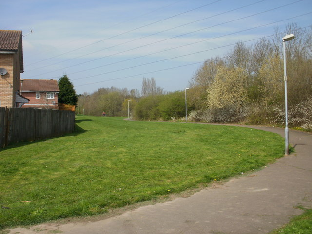
Image: © Jaggery Taken: 15 Apr 2010
The cycle path from Willowbrook Drive http://www.geograph.org.uk/photo/1809230 branched nearby, with one arm ending at Cypress Drive http://www.geograph.org.uk/photo/1809235 and this arm continuing north alongside Cypress Drive.
Images are licensed for reuse under creativecommons.org/licenses/by-sa/2.0
Image Location
Latitude
51.527344
Longitude
-3.089724