Tredegar Park golf course [3]
Introduction
The photograph on this page of Tredegar Park golf course [3] by Michael Dibb as part of the Geograph project.
The Geograph project started in 2005 with the aim of publishing, organising and preserving representative images for every square kilometre of Great Britain, Ireland and the Isle of Man.

There are currently over 7.5m images from over 14,400 individuals and you can help contribute to the project by visiting https://www.geograph.org.uk
Tredegar Park golf course [3]
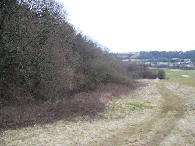
Image: © Michael Dibb Taken: 10 Mar 2010
The footpath to Mescoed passes through Tredegar Park golf course. Here the path passes alongside Wern-ddu Wood.
Images are licensed for reuse under creativecommons.org/licenses/by-sa/2.0
Image Location
Latitude
51.597584
Longitude
-3.028312