Camelford Town Hall
Introduction
The photograph on this page of Camelford Town Hall by Rod Allday as part of the Geograph project.
The Geograph project started in 2005 with the aim of publishing, organising and preserving representative images for every square kilometre of Great Britain, Ireland and the Isle of Man.

There are currently over 7.5m images from over 14,400 individuals and you can help contribute to the project by visiting https://www.geograph.org.uk
Camelford Town Hall
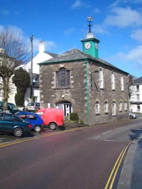
Image: © Rod Allday Taken: 2 Apr 2010
The town hall was constructed above the market place on the ground floor. It now houses the library. A Grade II listed building http://www.imagesofengland.org.uk/Details/Default.aspx?id=68519&mode=adv
Images are licensed for reuse under creativecommons.org/licenses/by-sa/2.0
Image Location
Latitude
50.622429
Longitude
-4.679399