Caol Acain Harbour and Caisteal Maol
Introduction
The photograph on this page of Caol Acain Harbour and Caisteal Maol by Nigel Homer as part of the Geograph project.
The Geograph project started in 2005 with the aim of publishing, organising and preserving representative images for every square kilometre of Great Britain, Ireland and the Isle of Man.

There are currently over 7.5m images from over 14,400 individuals and you can help contribute to the project by visiting https://www.geograph.org.uk
Caol Acain Harbour and Caisteal Maol
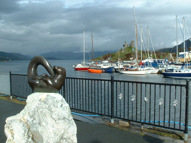
Image: © Nigel Homer Taken: 27 May 2006
The name of the village, Kyle Akin is from the Scots Gaelic Caol Acain, meaning the “Strait of Haakon” named after the Norwegian King Haakon.
Images are licensed for reuse under creativecommons.org/licenses/by-sa/2.0
Image Location
Latitude
57.272875
Longitude
-5.727175