Crindle Carr Lane - A168 Road Junction
Introduction
The photograph on this page of Crindle Carr Lane - A168 Road Junction by David Rogers as part of the Geograph project.
The Geograph project started in 2005 with the aim of publishing, organising and preserving representative images for every square kilometre of Great Britain, Ireland and the Isle of Man.

There are currently over 7.5m images from over 14,400 individuals and you can help contribute to the project by visiting https://www.geograph.org.uk
Crindle Carr Lane - A168 Road Junction
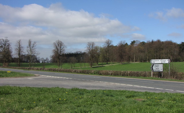
Image: © David Rogers Taken: 14 Apr 2010
Pasture House is hidden by the trees in the background.
Images are licensed for reuse under creativecommons.org/licenses/by-sa/2.0
Image Location
Latitude
54.291278
Longitude
-1.385457