A view down to Youlgreave
Introduction
The photograph on this page of A view down to Youlgreave by Peter Barr as part of the Geograph project.
The Geograph project started in 2005 with the aim of publishing, organising and preserving representative images for every square kilometre of Great Britain, Ireland and the Isle of Man.

There are currently over 7.5m images from over 14,400 individuals and you can help contribute to the project by visiting https://www.geograph.org.uk
A view down to Youlgreave
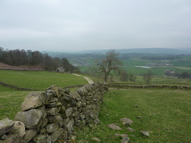
Image: © Peter Barr Taken: 15 Apr 2010
Where two paths meet by Bleakley Plantation (conifers!) the track descends past a ruin barn. Fishing pond near Hollow Farm is on the right.
Images are licensed for reuse under creativecommons.org/licenses/by-sa/2.0
Image Location
Latitude
53.162809
Longitude
-1.685868