Estuary of the River Coquet
Introduction
The photograph on this page of Estuary of the River Coquet by Oliver Dixon as part of the Geograph project.
The Geograph project started in 2005 with the aim of publishing, organising and preserving representative images for every square kilometre of Great Britain, Ireland and the Isle of Man.

There are currently over 7.5m images from over 14,400 individuals and you can help contribute to the project by visiting https://www.geograph.org.uk
Estuary of the River Coquet
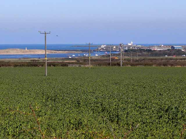
Image: © Oliver Dixon Taken: 12 Apr 2010
Seen from the lane to the north of New Barns Farm. The port area of Amble can be seen beyond the bend in the estuary. Further away again is the lighthouse on Coquet Island Image
Images are licensed for reuse under creativecommons.org/licenses/by-sa/2.0
Image Location
Latitude
55.333841
Longitude
-1.583817