Four Storey Oast Conversion
Introduction
The photograph on this page of Four Storey Oast Conversion by Penny Mayes as part of the Geograph project.
The Geograph project started in 2005 with the aim of publishing, organising and preserving representative images for every square kilometre of Great Britain, Ireland and the Isle of Man.

There are currently over 7.5m images from over 14,400 individuals and you can help contribute to the project by visiting https://www.geograph.org.uk
Four Storey Oast Conversion
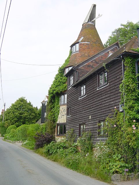
Image: © Penny Mayes Taken: 11 Jun 2005
On Water Lane near Cobham Manor Stables. Unusual for the area in that the oast roundel is stone, possibly recycled from nearby Thurnham Castle.
Images are licensed for reuse under creativecommons.org/licenses/by-sa/2.0
Image Location


Leaflet Map data © OpenStreetMap
Latitude
51.285049
Longitude
0.599868