Late 18C house, Higher Street, Hatherleigh
Introduction
The photograph on this page of Late 18C house, Higher Street, Hatherleigh by Humphrey Bolton as part of the Geograph project.
The Geograph project started in 2005 with the aim of publishing, organising and preserving representative images for every square kilometre of Great Britain, Ireland and the Isle of Man.

There are currently over 7.5m images from over 14,400 individuals and you can help contribute to the project by visiting https://www.geograph.org.uk
Late 18C house, Higher Street, Hatherleigh
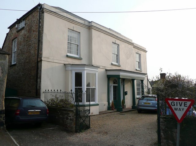
Image: © Humphrey Bolton Taken: 10 Apr 2010
At the junction with South Street and High Street. Altered in the 19C, when it was divided into two houses. There was a sign for bed and breakfast.
Images are licensed for reuse under creativecommons.org/licenses/by-sa/2.0
Image Location
Latitude
50.819838
Longitude
-4.071216