Welsh Road (A550) and Dehon House Lodge
Introduction
The photograph on this page of Welsh Road (A550) and Dehon House Lodge by Sue Adair as part of the Geograph project.
The Geograph project started in 2005 with the aim of publishing, organising and preserving representative images for every square kilometre of Great Britain, Ireland and the Isle of Man.

There are currently over 7.5m images from over 14,400 individuals and you can help contribute to the project by visiting https://www.geograph.org.uk
Welsh Road (A550) and Dehon House Lodge
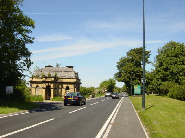
Image: © Sue Adair Taken: 3 Jun 2006
Dehon House (run by the Sacred Heart Fathers for the Diocese of Shrewsbury) was a residential centre for youth work. It was closed in 2003.
Images are licensed for reuse under creativecommons.org/licenses/by-sa/2.0
Image Location
Latitude
53.283355
Longitude
-2.965894