Open Farmland at Cumberhill
Introduction
The photograph on this page of Open Farmland at Cumberhill by Mike Bardill as part of the Geograph project.
The Geograph project started in 2005 with the aim of publishing, organising and preserving representative images for every square kilometre of Great Britain, Ireland and the Isle of Man.

There are currently over 7.5m images from over 14,400 individuals and you can help contribute to the project by visiting https://www.geograph.org.uk
Open Farmland at Cumberhill
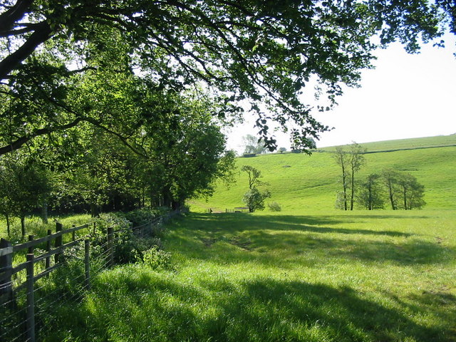
Image: © Mike Bardill Taken: 2 Jun 2006
A view over open farmland from the Cumberhills road. Cumberhills road leads up a steep hill from Duffield out into the open countryside near Kedleston.
Images are licensed for reuse under creativecommons.org/licenses/by-sa/2.0
Image Location
Latitude
52.977027
Longitude
-1.507016