Heybridge Farm
Introduction
The photograph on this page of Heybridge Farm by John M as part of the Geograph project.
The Geograph project started in 2005 with the aim of publishing, organising and preserving representative images for every square kilometre of Great Britain, Ireland and the Isle of Man.

There are currently over 7.5m images from over 14,400 individuals and you can help contribute to the project by visiting https://www.geograph.org.uk
Heybridge Farm
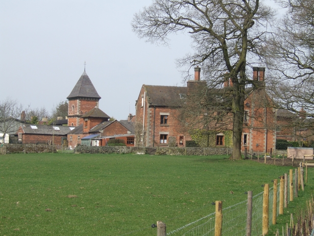
Image: © John M Taken: 10 Apr 2010
The 1863 dovecote is Grade 2 listed. The farm was owned by the Phillips family proprietors of the nearby Tean Hall Mills.
Images are licensed for reuse under creativecommons.org/licenses/by-sa/2.0
Image Location
Latitude
52.943797
Longitude
-1.977191