Worksop Town Lock, the Chesterfield Canal
Introduction
The photograph on this page of Worksop Town Lock, the Chesterfield Canal by Christine Johnstone as part of the Geograph project.
The Geograph project started in 2005 with the aim of publishing, organising and preserving representative images for every square kilometre of Great Britain, Ireland and the Isle of Man.

There are currently over 7.5m images from over 14,400 individuals and you can help contribute to the project by visiting https://www.geograph.org.uk
Worksop Town Lock, the Chesterfield Canal
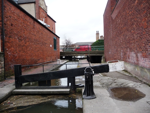
Image: © Christine Johnstone Taken: 31 Mar 2010
The road bridge takes advantage in the drop in water level below the lock, to go through almost on a level with the water above the lock.
Images are licensed for reuse under creativecommons.org/licenses/by-sa/2.0
Image Location
Latitude
53.306797
Longitude
-1.124293