Footway Piece (2)
Introduction
The photograph on this page of Footway Piece (2) by Simon Carey as part of the Geograph project.
The Geograph project started in 2005 with the aim of publishing, organising and preserving representative images for every square kilometre of Great Britain, Ireland and the Isle of Man.

There are currently over 7.5m images from over 14,400 individuals and you can help contribute to the project by visiting https://www.geograph.org.uk
Footway Piece (2)
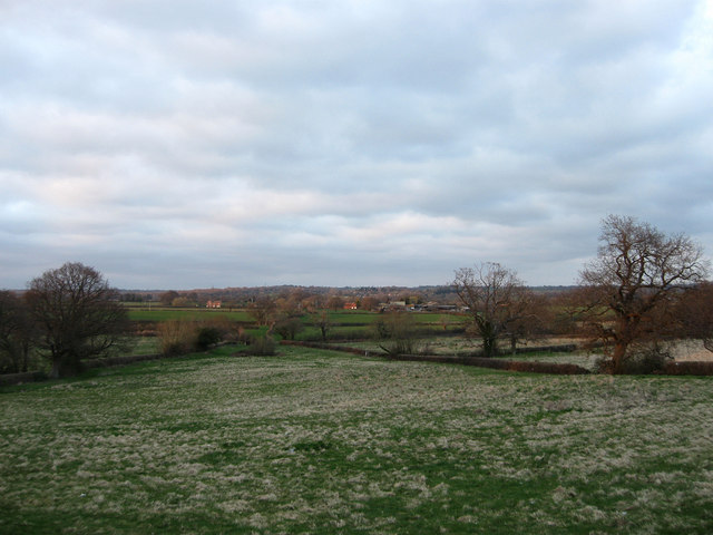
Image: © Simon Carey Taken: 11 Apr 2010
Reverse view of Image The buildings in the distance are Red House Cottages on the left and Harebeating Farm to the right. As the name suggests an old footpath links this point to Harebeating Lane.
Images are licensed for reuse under creativecommons.org/licenses/by-sa/2.0
Image Location
Latitude
50.865205
Longitude
0.263339