Ten Acres (1)
Introduction
The photograph on this page of Ten Acres (1) by Simon Carey as part of the Geograph project.
The Geograph project started in 2005 with the aim of publishing, organising and preserving representative images for every square kilometre of Great Britain, Ireland and the Isle of Man.

There are currently over 7.5m images from over 14,400 individuals and you can help contribute to the project by visiting https://www.geograph.org.uk
Ten Acres (1)
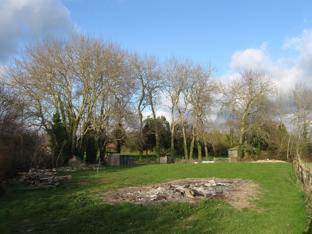
Image: © Simon Carey Taken: 11 Apr 2010
The name of the field according to the 1844 tithe map. This is the northern tip of the old field that has been separated from the rest to become part of a garden. The trees on the left provide the old boundary of the field whilst the fence to the right is the new one.
Images are licensed for reuse under creativecommons.org/licenses/by-sa/2.0
Image Location
Latitude
50.878481
Longitude
0.283601