Red Lion Field
Introduction
The photograph on this page of Red Lion Field by Simon Carey as part of the Geograph project.
The Geograph project started in 2005 with the aim of publishing, organising and preserving representative images for every square kilometre of Great Britain, Ireland and the Isle of Man.

There are currently over 7.5m images from over 14,400 individuals and you can help contribute to the project by visiting https://www.geograph.org.uk
Red Lion Field
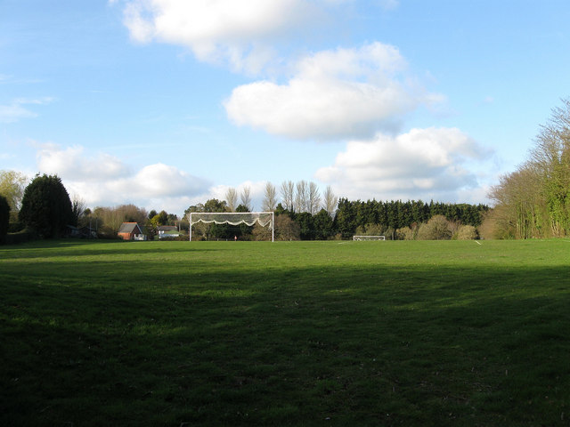
Image: © Simon Carey Taken: 11 Apr 2010
Home to Magham Down football club who play in East Sussex Division Three. The recreation ground was known as Lion Field on the 1844 tithe map after an inn which was situated at the northern end of the field next to the modern A271.
Images are licensed for reuse under creativecommons.org/licenses/by-sa/2.0
Image Location
Latitude
50.878262
Longitude
0.28558