Path junction, Campion Hills
Introduction
The photograph on this page of Path junction, Campion Hills by Robin Stott as part of the Geograph project.
The Geograph project started in 2005 with the aim of publishing, organising and preserving representative images for every square kilometre of Great Britain, Ireland and the Isle of Man.

There are currently over 7.5m images from over 14,400 individuals and you can help contribute to the project by visiting https://www.geograph.org.uk
Path junction, Campion Hills
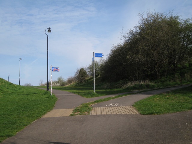
Image: © Robin Stott Taken: 11 Apr 2010
The path to the left heads for Leicester Street. The cycleway climbs the hill to join the south end of Gresham Avenue.
Images are licensed for reuse under creativecommons.org/licenses/by-sa/2.0
Image Location


Leaflet Map data © OpenStreetMap
Latitude
52.293595
Longitude
-1.522406