Winding hole, Grantham Canal
Introduction
The photograph on this page of Winding hole, Grantham Canal by Kate Jewell as part of the Geograph project.
The Geograph project started in 2005 with the aim of publishing, organising and preserving representative images for every square kilometre of Great Britain, Ireland and the Isle of Man.

There are currently over 7.5m images from over 14,400 individuals and you can help contribute to the project by visiting https://www.geograph.org.uk
Winding hole, Grantham Canal
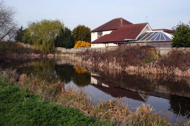
Image: © Kate Jewell Taken: 10 Apr 2010
Viewed from the towpath on the West Bridgford side of the canal at Gamston Bridge. Winding holes, wider semi circular basins, were provided along canals to allow the long narrow boats space to turn round. The word is correctly pronounced with a short "i" to rhyme with "tinned", it derives from the practice of using the prevailing wind to assist with the turn.
Images are licensed for reuse under creativecommons.org/licenses/by-sa/2.0
Image Location
Latitude
52.930134
Longitude
-1.11049