2010 : High Street, Marshfield looking east
Introduction
The photograph on this page of 2010 : High Street, Marshfield looking east by Maurice Pullin as part of the Geograph project.
The Geograph project started in 2005 with the aim of publishing, organising and preserving representative images for every square kilometre of Great Britain, Ireland and the Isle of Man.

There are currently over 7.5m images from over 14,400 individuals and you can help contribute to the project by visiting https://www.geograph.org.uk
2010 : High Street, Marshfield looking east
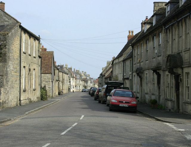
Image: © Maurice Pullin Taken: 10 Apr 2010
John Wesley visited Marshfield on Sunday 21st March 1742 but had little to say about it. (John Bartholomew, Gazetteer of the British Isles (1887)) Says "Marshfield has a considerable trade in malting" Marshfield was also a small town much concerned with wool and textiles.
Images are licensed for reuse under creativecommons.org/licenses/by-sa/2.0
Image Location
Latitude
51.462276
Longitude
-2.323535