Disused railway bridge on Morkery Lane
Introduction
The photograph on this page of Disused railway bridge on Morkery Lane by Andrew Tatlow as part of the Geograph project.
The Geograph project started in 2005 with the aim of publishing, organising and preserving representative images for every square kilometre of Great Britain, Ireland and the Isle of Man.

There are currently over 7.5m images from over 14,400 individuals and you can help contribute to the project by visiting https://www.geograph.org.uk
Disused railway bridge on Morkery Lane
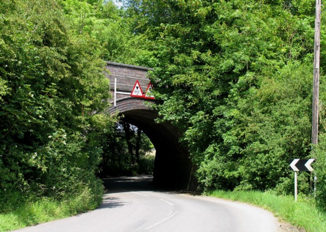
Image: © Andrew Tatlow Taken: 21 Jun 2009
The Saxby to Bourne railway was formerly on this bridge.
Images are licensed for reuse under creativecommons.org/licenses/by-sa/2.0
Image Location
Latitude
52.763926
Longitude
-0.584195