Knowledge Crescent
Introduction
The photograph on this page of Knowledge Crescent by Des Blenkinsopp as part of the Geograph project.
The Geograph project started in 2005 with the aim of publishing, organising and preserving representative images for every square kilometre of Great Britain, Ireland and the Isle of Man.

There are currently over 7.5m images from over 14,400 individuals and you can help contribute to the project by visiting https://www.geograph.org.uk
Knowledge Crescent
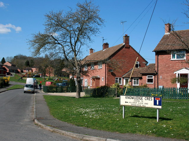
Image: © Des Blenkinsopp Taken: 8 Apr 2010
An ordinary street off Back Lane in Ramsbury. I just thought it was an unusual name. Tried to find some explanation for it on Google, but gave up after several pages of house prices. Someone from the British Goat Society lives there if that's any help. Anyway, Knowledge Crescent, leads to Hilldrop Close and Knowledge hill. Not a lot of people know that.
Images are licensed for reuse under creativecommons.org/licenses/by-sa/2.0
Image Location
Latitude
51.443288
Longitude
-1.611466