Cut mark benchmark on Hobgoblin PH, Bell Lane
Introduction
The photograph on this page of Cut mark benchmark on Hobgoblin PH, Bell Lane by Roger Templeman as part of the Geograph project.
The Geograph project started in 2005 with the aim of publishing, organising and preserving representative images for every square kilometre of Great Britain, Ireland and the Isle of Man.

There are currently over 7.5m images from over 14,400 individuals and you can help contribute to the project by visiting https://www.geograph.org.uk
Cut mark benchmark on Hobgoblin PH, Bell Lane
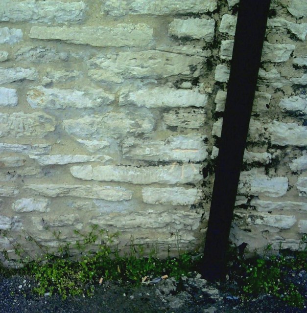
Image: © Roger Templeman Taken: 9 Apr 2010
Cut mark levelled at 73.1185m above Newlyn datum. See http://www.bench-marks.org.uk/bm33911 for details.
Images are licensed for reuse under creativecommons.org/licenses/by-sa/2.0
Image Location
Latitude
51.899252
Longitude
-1.152353