B6480
Introduction
The photograph on this page of B6480 by Alexander P Kapp as part of the Geograph project.
The Geograph project started in 2005 with the aim of publishing, organising and preserving representative images for every square kilometre of Great Britain, Ireland and the Isle of Man.

There are currently over 7.5m images from over 14,400 individuals and you can help contribute to the project by visiting https://www.geograph.org.uk
B6480
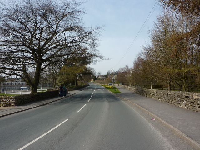
Image: © Alexander P Kapp Taken: 10 Apr 2010
Looking west along the B6480 towards Giggleswick
Images are licensed for reuse under creativecommons.org/licenses/by-sa/2.0
Image Location


Leaflet Map data © OpenStreetMap
Latitude
54.072406
Longitude
-2.283899