Road junction, Llanwern
Introduction
The photograph on this page of Road junction, Llanwern by Jaggery as part of the Geograph project.
The Geograph project started in 2005 with the aim of publishing, organising and preserving representative images for every square kilometre of Great Britain, Ireland and the Isle of Man.

There are currently over 7.5m images from over 14,400 individuals and you can help contribute to the project by visiting https://www.geograph.org.uk
Road junction, Llanwern
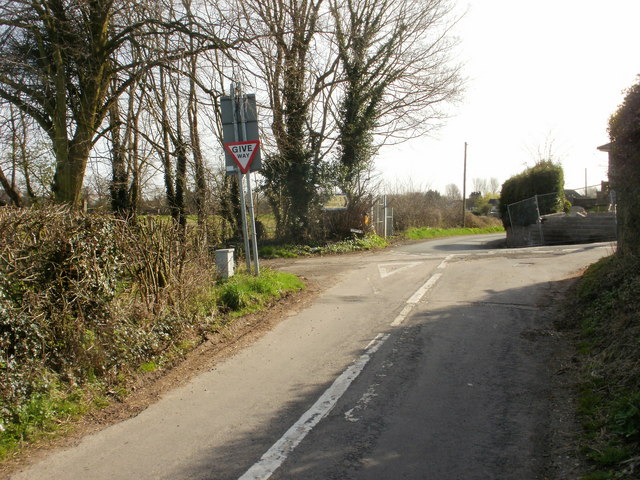
Image: © Jaggery Taken: 9 Apr 2010
Lodge Hill, from the right, ends at this junction with Langstone Lane. A triangular one-way system operates in this part of Llanwern Village, so vehicles cannot turn right at this point, but must proceed for about 200 metres. They can then either turn right onto Milton Hill, or continue along Station Road.
Images are licensed for reuse under creativecommons.org/licenses/by-sa/2.0
Image Location
Latitude
51.58999
Longitude
-2.913671