Maindee Road (A4048), Cwmfelinfach
Introduction
The photograph on this page of Maindee Road (A4048), Cwmfelinfach by Robin Drayton as part of the Geograph project.
The Geograph project started in 2005 with the aim of publishing, organising and preserving representative images for every square kilometre of Great Britain, Ireland and the Isle of Man.

There are currently over 7.5m images from over 14,400 individuals and you can help contribute to the project by visiting https://www.geograph.org.uk
Maindee Road (A4048), Cwmfelinfach
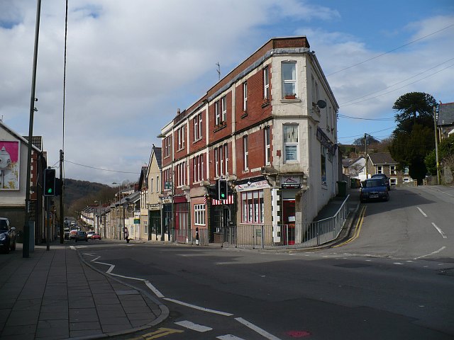
Image: © Robin Drayton Taken: 7 Apr 2010
The name Cwmfelinfach comes from a small flannel mill that once stood close to the river. The building at the road junction is Coronation Buildings named after the coronation of King Edward VII in 1902. There was also a nearby Coronation Colliery http://www.geograph.org.uk/photo/1797090 .
Images are licensed for reuse under creativecommons.org/licenses/by-sa/2.0
Image Location
Latitude
51.6191
Longitude
-3.178588