The remains of St Constantine's church
Introduction
The photograph on this page of The remains of St Constantine's church by John Brightley as part of the Geograph project.
The Geograph project started in 2005 with the aim of publishing, organising and preserving representative images for every square kilometre of Great Britain, Ireland and the Isle of Man.

There are currently over 7.5m images from over 14,400 individuals and you can help contribute to the project by visiting https://www.geograph.org.uk
The remains of St Constantine's church
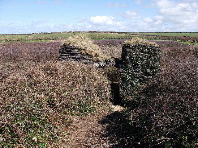
Image: © John Brightley Taken: 4 Apr 2010
Constantine Bay derives its name from this now ruinous 14th century chapel dedicated to a saintly Cornish king. The ruins now sit in the middle of a golf course and although it is marked on the Ordnance Survey map, few of the many tourists who visit the area are even aware of its existence.
Images are licensed for reuse under creativecommons.org/licenses/by-sa/2.0
Image Location
Latitude
50.534287
Longitude
-5.013683