New houses at Inverkip
Introduction
The photograph on this page of New houses at Inverkip by Thomas Nugent as part of the Geograph project.
The Geograph project started in 2005 with the aim of publishing, organising and preserving representative images for every square kilometre of Great Britain, Ireland and the Isle of Man.

There are currently over 7.5m images from over 14,400 individuals and you can help contribute to the project by visiting https://www.geograph.org.uk
New houses at Inverkip
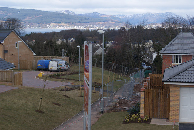
Image: © Thomas Nugent Taken: 13 Mar 2010
On land that was designated greenbelt until Inverclyde Council agreed to a controversial land swap deal with the developers. The railway footbridge at the end of Beatock Place can just be seen through the trees to the right.
Images are licensed for reuse under creativecommons.org/licenses/by-sa/2.0
Image Location
Latitude
55.905336
Longitude
-4.866929