Croydon: Cedar Road
Introduction
The photograph on this page of Croydon: Cedar Road by Dr Neil Clifton as part of the Geograph project.
The Geograph project started in 2005 with the aim of publishing, organising and preserving representative images for every square kilometre of Great Britain, Ireland and the Isle of Man.

There are currently over 7.5m images from over 14,400 individuals and you can help contribute to the project by visiting https://www.geograph.org.uk
Croydon: Cedar Road
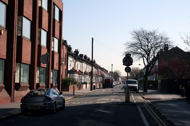
Image: © Dr Neil Clifton Taken: 8 Apr 2010
Seen from its T-junction with Cherry Orchard Road, Cedar Road cannot be exited at this end. The road runs to a junction with Lebanon Road at the far end.
Images are licensed for reuse under creativecommons.org/licenses/by-sa/2.0
Image Location
Latitude
51.376664
Longitude
-0.08987