The Covenanter's Cave, Garrel Glen
Introduction
The photograph on this page of The Covenanter's Cave, Garrel Glen by Robert Murray as part of the Geograph project.
The Geograph project started in 2005 with the aim of publishing, organising and preserving representative images for every square kilometre of Great Britain, Ireland and the Isle of Man.

There are currently over 7.5m images from over 14,400 individuals and you can help contribute to the project by visiting https://www.geograph.org.uk
The Covenanter's Cave, Garrel Glen
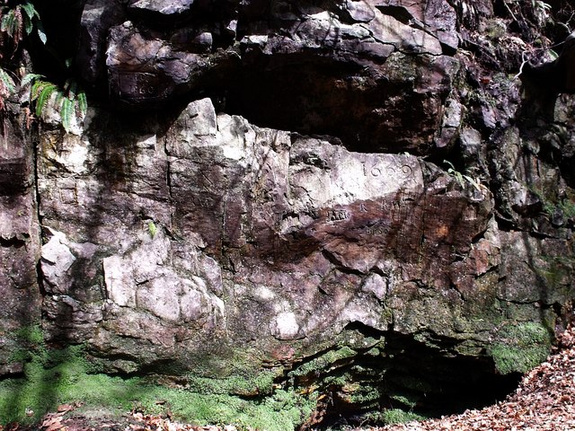
Image: © Robert Murray Taken: 7 Apr 2010
Long since closed in due to a landslip or rock collapse. Many initials and symbols are carved on the rock with 1669 the oldest date being very clear. RCAHMS www.canmore.rcahms.gov.uk/en/site/45918/details/kilsyth+garrel+glen+covenanter+s+cave/
Images are licensed for reuse under creativecommons.org/licenses/by-sa/2.0
Image Location
Latitude
55.982505
Longitude
-4.054698