St Michael Street, Newport
Introduction
The photograph on this page of St Michael Street, Newport by Jaggery as part of the Geograph project.
The Geograph project started in 2005 with the aim of publishing, organising and preserving representative images for every square kilometre of Great Britain, Ireland and the Isle of Man.

There are currently over 7.5m images from over 14,400 individuals and you can help contribute to the project by visiting https://www.geograph.org.uk
St Michael Street, Newport
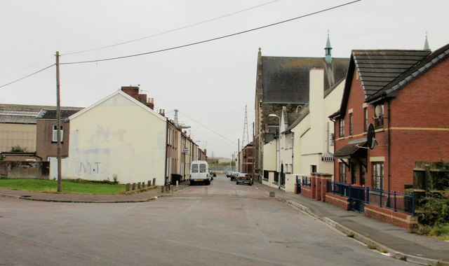
Image: © Jaggery Taken: 5 Oct 2009
Viewed from the corner of Castle Street. On the right in the middle distance is St Michael's RC Church. http://www.geograph.org.uk/photo/1600989 A small part of a tower of the Transporter Bridge http://www.geograph.org.uk/photo/1624855 can be seen above the roofs on the left.
Images are licensed for reuse under creativecommons.org/licenses/by-sa/2.0
Image Location
Latitude
51.575022
Longitude
-2.985522