Footpath junction on the B2067
Introduction
The photograph on this page of Footpath junction on the B2067 by David Anstiss as part of the Geograph project.
The Geograph project started in 2005 with the aim of publishing, organising and preserving representative images for every square kilometre of Great Britain, Ireland and the Isle of Man.

There are currently over 7.5m images from over 14,400 individuals and you can help contribute to the project by visiting https://www.geograph.org.uk
Footpath junction on the B2067
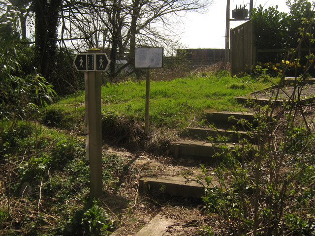
Image: © David Anstiss Taken: 5 Apr 2010
A footpath heads left around High House Farm to Church Road. Another path heads right around the farm towards Kenardington Road. In the background is a Image showing the route of the diverted footpath.
Images are licensed for reuse under creativecommons.org/licenses/by-sa/2.0
Image Location


Leaflet Map data © OpenStreetMap
Latitude
51.061646
Longitude
0.816839