Former Drill Hall - Prescott Street
Introduction
The photograph on this page of Former Drill Hall - Prescott Street by Betty Longbottom as part of the Geograph project.
The Geograph project started in 2005 with the aim of publishing, organising and preserving representative images for every square kilometre of Great Britain, Ireland and the Isle of Man.

There are currently over 7.5m images from over 14,400 individuals and you can help contribute to the project by visiting https://www.geograph.org.uk
Former Drill Hall - Prescott Street
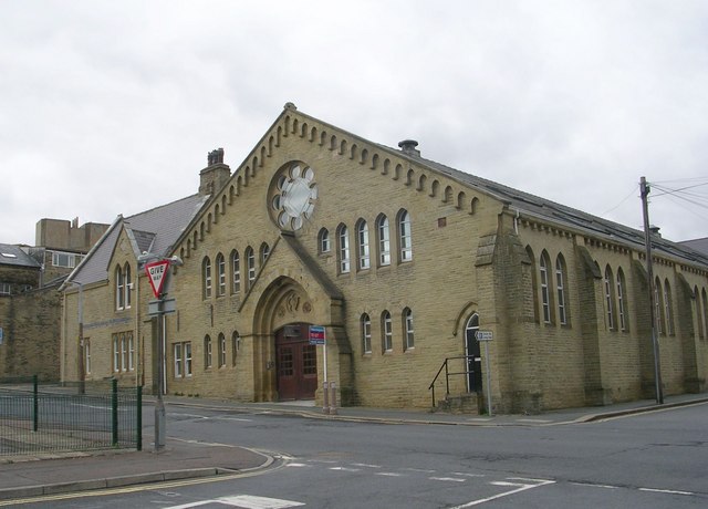
Image: © Betty Longbottom Taken: 5 Apr 2010
Used by The Duke of Wellington's Regiment, this has now been converted for residential use by the Horton Housing Association.
Images are licensed for reuse under creativecommons.org/licenses/by-sa/2.0
Image Location
Latitude
53.719258
Longitude
-1.858733