Hatfield Broad Oak
Introduction
The photograph on this page of Hatfield Broad Oak by David Kemp as part of the Geograph project.
The Geograph project started in 2005 with the aim of publishing, organising and preserving representative images for every square kilometre of Great Britain, Ireland and the Isle of Man.

There are currently over 7.5m images from over 14,400 individuals and you can help contribute to the project by visiting https://www.geograph.org.uk
Hatfield Broad Oak
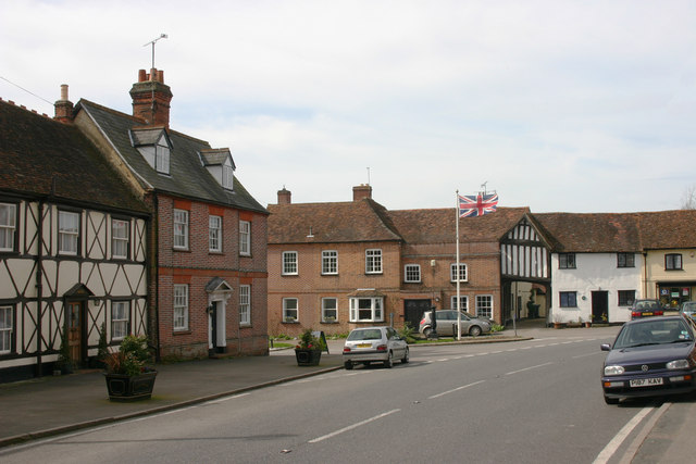
Image: © David Kemp Taken: 6 Apr 2010
Taken in High Street. The road to the left of the flagstaff is Cage End.
Images are licensed for reuse under creativecommons.org/licenses/by-sa/2.0
Image Location
Latitude
51.825733
Longitude
0.241949