River Chelmer
Introduction
The photograph on this page of River Chelmer by David Kemp as part of the Geograph project.
The Geograph project started in 2005 with the aim of publishing, organising and preserving representative images for every square kilometre of Great Britain, Ireland and the Isle of Man.

There are currently over 7.5m images from over 14,400 individuals and you can help contribute to the project by visiting https://www.geograph.org.uk
River Chelmer
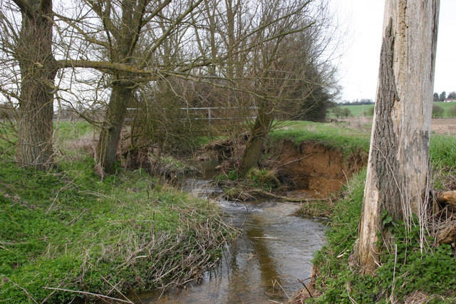
Image: © David Kemp Taken: 6 Apr 2010
Taken south of Thaxted looking north. The bridge carries a footpath from Monk Street to Stanbrook. A stratum of sand and gravel can be seen in the lower part of the bank.
Images are licensed for reuse under creativecommons.org/licenses/by-sa/2.0
Image Location
Latitude
51.939659
Longitude
0.339432