The lane to Brynllys
Introduction
The photograph on this page of The lane to Brynllys by Chris Denny as part of the Geograph project.
The Geograph project started in 2005 with the aim of publishing, organising and preserving representative images for every square kilometre of Great Britain, Ireland and the Isle of Man.

There are currently over 7.5m images from over 14,400 individuals and you can help contribute to the project by visiting https://www.geograph.org.uk
The lane to Brynllys
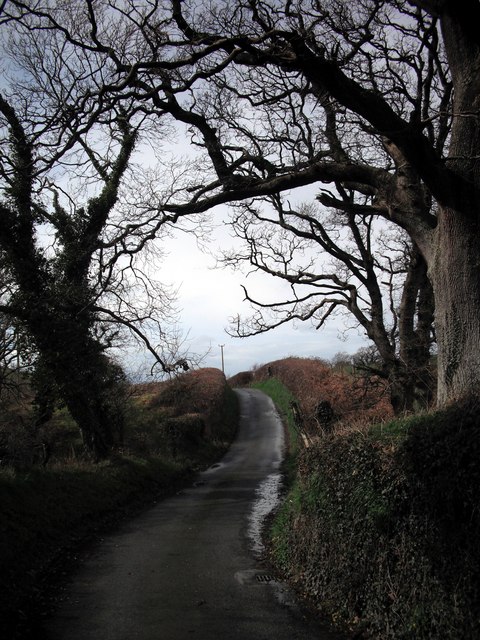
Image: © Chris Denny Taken: 2 Apr 2010
The narrow lane leading to Brynllys and becoming a track at Pant-y-dwn is framed by trees as it climbs out of Dol-y-Bont.
Images are licensed for reuse under creativecommons.org/licenses/by-sa/2.0
Image Location
Latitude
52.475224
Longitude
-4.027943