Orpington High Street improvement
Introduction
The photograph on this page of Orpington High Street improvement by Ian Capper as part of the Geograph project.
The Geograph project started in 2005 with the aim of publishing, organising and preserving representative images for every square kilometre of Great Britain, Ireland and the Isle of Man.

There are currently over 7.5m images from over 14,400 individuals and you can help contribute to the project by visiting https://www.geograph.org.uk
Orpington High Street improvement
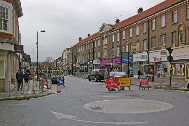
Image: © Ian Capper Taken: 31 Mar 2010
Work under way on the Orpington High Street Improvement scheme (see below). Although initial work was on the pavements, late March/early April saw the southern end of the High Street closed to traffic for work on the roadway itself. Here is the northern end of the closure, at the junction with Homefield Rise.
Images are licensed for reuse under creativecommons.org/licenses/by-sa/2.0
Image Location
Latitude
51.37564
Longitude
0.099227