Virginia Water
Introduction
The photograph on this page of Virginia Water by Alan Hunt as part of the Geograph project.
The Geograph project started in 2005 with the aim of publishing, organising and preserving representative images for every square kilometre of Great Britain, Ireland and the Isle of Man.

There are currently over 7.5m images from over 14,400 individuals and you can help contribute to the project by visiting https://www.geograph.org.uk
Virginia Water
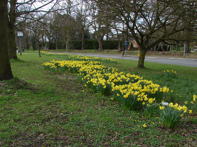
Image: © Alan Hunt Taken: 5 Apr 2010
A fine display of daffodils on the green between Station Approach and Christchurch Road (in the background)
Images are licensed for reuse under creativecommons.org/licenses/by-sa/2.0
Image Location
Latitude
51.403159
Longitude
-0.56666